

Steiner fires were a wake up call for wildland maintenance, protocol
First responders, utility providers offer safety tips, emergency protocol
By LESLEE BASSMAN, Four Points News
Last spring, the Comanche Trails neighborhood in western Travis County hosted what longtime resident Donna Ackman believes to be the first community-wide fire drill in the state. However, she said more efforts are needed to ensure her heavily-forested community — that includes preserve land and waterfront — remains safe from wildfires.
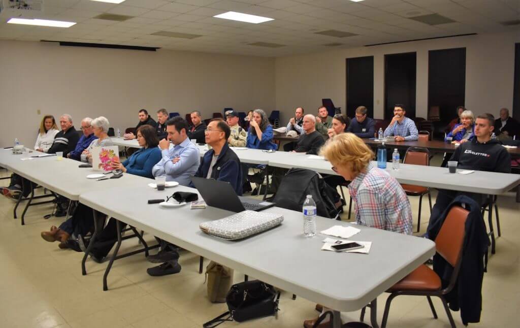
A member of the community association’s board of directors, Ackman initiated a meeting Jan. 30 geared at finding out what measures first responders suggest residents take to deter a wildfire and the protocols responding agencies follow during an emergency situation.
Whereas the 2019 neighborhood fire drill showed homeowners what to do if a wildfire spread through the community, she said this year’s program profiled how various agencies serving Comanche Trail work together in the event of a wildfire disaster. Those agencies include Lake Travis Fire Rescue, the Lower Colorado River Authority that governs the waterway running along the community and Pedernales Electric Cooperative, whose invitation was prompted by the role utility equipment failures played during the recent California wildfires.
“What if we called 911, who comes and what do they do,” Ackman said. “How do they overlap? How do they work together? How do they coordinate?”
Comanche Trail lies within Travis County’s unincorporated area and is part of the extraterritorial jurisdiction of Austin. Its residents aren’t required to pay city taxes but don’t receive the city’s municipal services either, with the responsibility for emergency providers falling to LTFR. A portion of the neighborhood is within the Balcones Canyonlands Preserve, and residents asked event moderator, Comanche Trail Community Association president Rebecca McDonald, what precautions have been taken within its fenced section.
McDonald acknowledged that the neighborhood is at a “high” risk of wildfire.
“All of the things we’re doing are to help take care of ourselves,” she said. “We’ve been deigned as a community that is at high risk of fire because of how we are surrounded and because we have one way out and one way into our community. Therefore, we have to be really vigilant about how to handle things and know what’s going on.”
Utility line dangers
The PEC has reviewed utility equipment in the Comanche Trails neighborhood at least three times during the past 15 years, said Richard Arellano, vice president of the cooperative’s Support Services department that performs system and vegetation maintenance. He said those reviews included a voltage change performed at some date within the last 15 years; a physical inventory of every piece of electrical equipment in the area performed in 2014-16; and a recent safety inspection of the area’s wood utility poles.
“The key thing to remember from PEC is that we want to provide you safe, reliable, affordable and courteous electric service,” Arellano said. “And, safety is foremost.” — work together in the event of a wildfire disaster.
PEC is on a five-year cycle to review both equipment and vegetation, timed so the equipment review falls one year after the vegetation review, he said. The company anticipates performing a system maintenance in 2021, following a vegetation review this year, he said. Recently a land site abutting the BCP was cleared, he said.
Arellano urged homeowners to contact PEC if they find a build up of vegetation around the utility’s wires or equipment and to be prepared to provide the pole number that is located on a black tag at eye height. As a rule, the company clears around a five-foot radius, or a 10-foot diameter, around its utility poles, he said.
If a wildfire breaks out in the Comanche Trail neighborhood, PEC staffers will respond to orders from an LTFR incident commander to turn off the power, instructing line workers to de-energize the appropriate parts of the system, Arellano said.
Preserving the preserve
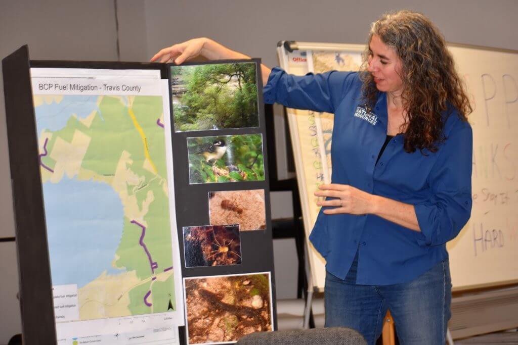
Recently, PEC coordinated with BCP officials to conduct trimming in the preserve area. LCRA Natural Resources Conservation Manager Bobby Humphrey said shaded fuel breaks were constructed in the BCP, along the perimeter of the McGregor Preserve and within the property, on its roads and trails.
The agency manages more than 40 parks from San Saba County to the Matagorda Bay, including McGregor Preserve that lies within the Comanche Trail neighborhood.
“McGregor is unique because it was put into the Balcones Canyonlands Preserve in the mid- to late- (19)90s,” Humphrey said, adding the tract was set aside to protect the Golden-cheeked Warbler, a migrant songbird born in Texas. “That’s how we manage the property, with that in mind — to protect that endangered species.”
A shaded fuel break is not a fire break that clear cuts vegetation in order to stop a fire, he said. However, a shaded fuel break rids the area of fine fuels that replace woody vegetation. The practice leaves the overstory canopy of the large trees and shades out the understory canopy such as grasses and twigs, he said.
The shaded fuel breaks created on the McGregor Preserve stemmed from the property’s perimeter, or road, to about 25-30 feet into the site, Humphrey said. Staff followed U.S. Fish & Wildlife Department guidelines for mitigation actions taken in preserve habitat, he said, and the LCRA plans to go back into the preserve to maintain the shaded fuel breaks.
“That’s not going to stop a big, huge fire but it will slow it down,” Humphrey said of shaded fuel breaks. “It is a step, a tool that we use.”
He said one conservation team member regularly checks the preserve but the agency relies on neighbors to help detect wildfire and told participants to call 911 or LTFR if they see smoke or fire in the area.
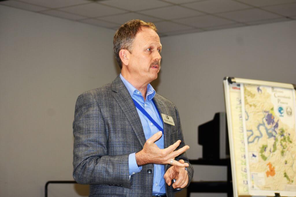
Julie Murray, a natural resources specialist at Travis County Transportation & Natural Resources, said LTFR just completed wildfire mitigation along the edge of the Romberg Tract that includes about 40 acres of Bob Wentz Park on the north shore of Lake Travis, adjacent to Windy Point. The methodology used for this event was the same as LCRA’s technique and is the protocol for installing shaded fuel breaks in Golden-cheeked Warbler habitat, she said. The practice is used to minimize the risk of wildfire as well as maintain the habitat for endangered birds.
“This protocol came about after the Steiner Ranch fires that were a big wake up call for everybody,” Murray said. “A lot of research went into these methodologies to find a way to focus our efforts on the areas with the highest risk which are in the wildland-urban interfaces.”
She said the WUI areas — wildlands that run along boundaries with residential properties — are at highest risk for wildfires because “we are the cause of most fires.” Through these studies, scientists found the middle of the forest, or preserve, is at less risk of wildfires than its outer edges because “the configuration of the fuels isn’t set up to carry fire very far,” Murray said.
Travis County TNR is also on a five-year cycle for maintenance, she said, and may act sooner if the area needs it. Murray said the cycle turnaround mimics the vegetation growth, with Comanche Trail preserve areas just now getting to the cycle’s five year point.
“One reason (mitigation) is on a cycle is (because the) available time to cut is restricted,” Travis County Chief Park Ranger Dan Chapman said of the lack of access to the preserve during the Golden-cheeked Warbler’s mating season.
In the fall, Travis County is set to focus its wildfire mitigation efforts below Bullick Hollow Road, north of Oasis Bluff, Murray said.
Local firefighters, Travis County commissioner push for safety
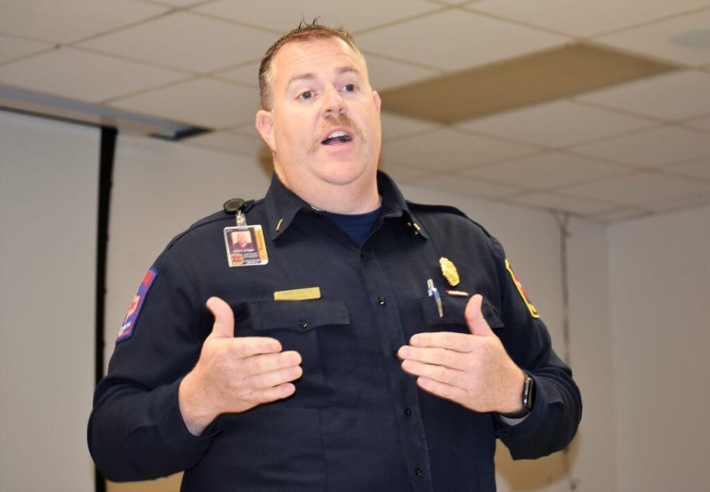
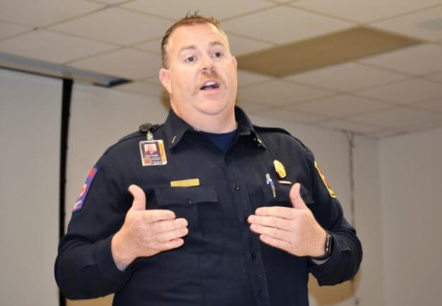
LTFR Lt. Adam Griggs, a fire inspector and investigator, joined Precinct 2 Travis County Commissioner Brigid Shea to coordinate Comanche Trail’s fire drill last year, an activity that took about a year to plan. Following the 2011 Steiner Ranch fires, Griggs’ crew began installing shaded fuel breaks for Travis County.
The team is now beginning to work with LCRA, PEC, Travis County’s Park Land Management Program as well as neighborhood organizations to help lessen the risk of wildfire within the district’s 100 square miles, Griggs said. Mitigation work is performed for six months out of the year, with about 25 percent of Griggs’ district encompassing a preserve or undevelopable park area.
Although a majority of the calls received by LTFR staff are medical-related, including vehicular accidents, Griggs said calls for fire aren’t an everyday occurrence.
“Our primary focus is to mitigate that emergency to prevent damage and loss of life,” he said. “From there, we rely on all of our other agencies that we work with — the electric company, the gas companies, game wardens, parks, sheriff’s office.”
With newer homes and residents who have higher levels of education, Griggs said the western Travis County area typically posts fewer fires than other areas. However, he said that during the past few years, the department has seen more fireworks-related small grass fires in the community, possibly due to dry December months.
LTFR Captain Glenn Trubee suggested residents address home hardening, a method available to homeowners for protection from embers that emanate from fires. About 95-98 percent of homes are damaged from embers and not from direct flames, with such embers being able to travel up to a mile from a fire site to a home gutter, LTFR Wildfire Specialist Christopher Rea said. Rea performs free risk assessments for homeowners, a task he said is especially needed for canyon dwellers.
“There’s little things that you can do that make a big difference,” Rea said.
When asked if LTFR can force a Comanche Trail homeowner to comply with fire code provisions, Trubee said such ordinances can’t be enforced on a residential site but are enforceable on commercial properties. However, a residential fire hydrant can be tested for flow pressure and, if requested by a Comanche Trail resident, he or she can call Water Control and Improvement District 17, the agency that services the area, Griggs said.
Griggs credited Shea with being “the big push” that brought a fire drill to the Comanche Trail area and Shea called the neighborhood, “a model community.” She said she asked its local leaders two years ago if they would be interested in a neighborhood fire drill. About 1,400 volunteer hours later, Shea said firefighters and park officials conducted the drill, “creating a new mold for what neighborhoods could do if they wanted to be really active about trying to protect themselves from wildfire and anything that would require evacuation.”
“So I have a big soft spot in my heart for Comanche Trail because they’ve put so much time and effort into making themselves safer and learning what they need to do to be better prepared,” she said.
For a free fire risk assessment, email a request to wildfire@ltfr.org.
Moving on from Comanche Trail’s March 2019 fire drill
Second community fire drill slated for 2021
Comanche Trail resident Donna Ackman applauded participating agencies and residents of last year’s fire drill event, a program that spurred on the Jan. 30 town hall meeting and introduced the neighborhood to the community responders who would be on hand should a wildfire break out.
As a result of the drill, she said the community discovered its narrow streets may prevent fire fighting equipment to get through and that issue may be exacerbated by parked cars, old boats and planters lining the roads’ edges. Following the event, a Travis County crew performed a survey on Skyline and Lakeview drives, identifying issues related to a fire truck’s ability to navigate the roadways, she said.
Most recently, LTFR performed fire mitigation near Bob Wentz Park, trimming trees, removing dead and downed limbs, Ackman said.
According to Comanche Trail Community Association president Rebecca McDonald, the fire drill project gave way to an alert system that is now available to send a cell phone text to community residents, informing them that a wildfire is occurring in the neighborhood.

“It’s primarily for your safety during a fire — telling you where it is, what to do, where to go, how to be safe,” McDonald said of the alert system.
A second community-wide fire drill is slated for 2021 and she said this event will be more extensive than the one performed in March 2019.